Home
GIS Solutions Articles
PDH
GIS Editorial
Esri Press Releases
Esri Press Releases
Esri’s Jack Dangermond Honored with Award from International Fund for China’s Environment
Esri president Jack Dangermond received the 30 Years of International Green Development Influential Figures Award from the International Fund for China’s Environment (IFCE).IFCE is a major internation...
Advisory Board Announced for Geo Week 2027
Leading geospatial and mapping event selects industry leaders to help deliver critical insights to geospatial professionalsSalt Lake City, Utah, USA, June 4, 2026 – Organizers of Geo Week, the premier...
WGIC and University Partners Announce World's First Professional Doctorate in Geospatial Leadership
Developed in partnership with WGIC and its 50+ member organizations, Clark University and the University of Southern California will each offer the Executive Doctor of Geospatial Leadership (DGEO) pro...
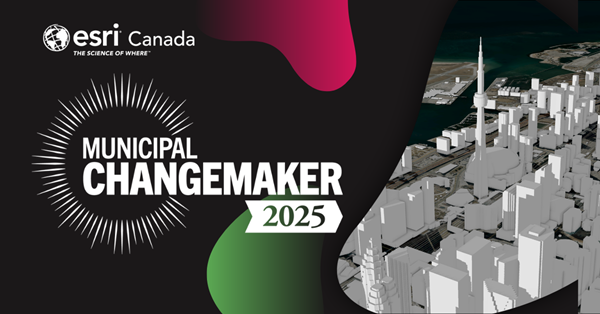
Esri Canada named a Municipal Changemaker by Municipal World
Key pointsEsri Canada was named a Municipal Changemaker by Municipal World for helping municipalities across Canada use GIS and location intelligence to improve decision making.Municipalities use GIS ...
What's New in ArcGIS Web Editor in ArcGIS Enterprise 12.1
By Albert Schelin and Martin CoppingArcGIS Web Editor is a lightweight and user-friendly editing app built for both GIS Professionals and occasional editors. This focused app is dedicated to editing, ...
Esri Recognizes Partners for Innovation, Excellence, and Long-Standing Contributions to the Geospatial Community
Awards Granted for Exceptional Achievement Using GIS at 2026 Esri Partner ConferenceREDLANDS, Calif.— Esri, the global leader in geographic information system (GIS) technology and location intelligenc...
Creating Sustainability: “The Most Important Design Problem in the World”
What if planners from neighboring communities or different parts of the world could share their planning information with one another? Using the same technology, the same language, the same maps, they...
Esri and RoboGarden Sign Strategic MOU to Advance Geospatial and Geomatics Education
Agreement Explores New Models for Digital Learning, Academic Collaboration, and Global Workforce ReadinessEsri and RoboGarden have signed an MOU to explore strategic collaboration that broadens access...
Esri Releases Ninth Edition of Map Use: Map Reading and Design, the Definitive Guide to Cartographic Design
Updated Edition Delivers Modern Mapping Fundamentals, Design Best Practices, and Critical Skills for Students, Educators, and GIS ProfessionalsEsri announces the publication of Map Use: Map Reading an...
1
(current)
2
3
4
5
...
14
Next