Home
GIS Solutions Articles
PDH
GIS Editorial
Esri Press Releases
Esri Press Releases
Esri and RoboGarden Sign Strategic MOU to Advance Geospatial and Geomatics Education
Agreement Explores New Models for Digital Learning, Academic Collaboration, and Global Workforce ReadinessEsri and RoboGarden have signed an MOU to explore strategic collaboration that broadens access...
Esri Releases Ninth Edition of Map Use: Map Reading and Design, the Definitive Guide to Cartographic Design
Updated Edition Delivers Modern Mapping Fundamentals, Design Best Practices, and Critical Skills for Students, Educators, and GIS ProfessionalsEsri announces the publication of Map Use: Map Reading an...
Esri Publishes Top 20 Essential Skills for Imagery and Remote Sensing
New Book Provides Step‑by‑Step Instruction for Visualizing, Processing, Analyzing, and Managing Imagery and Raster Data Using ArcGIS Image AnalystEsri has published Top 20 Essential Skills for Imagery...
Esri Press Most Popular Ebooks Available in the Esri Store
ArcGIS Users Can Now Purchase Esri Press Ebooks at a 20 Percent DiscountEsri now offers best-selling Esri Press ebooks directly in the Esri Store, expanding digital access to authoritative GIS learnin...
Jill Bricker Joins TRC as Director of North American Geospatial Solutions
WINDSOR, Conn. – TRC Companies, Inc. (TRC), a global professional services organization delivering integrated strategy, consulting, engineering and applied technologies, announced that Jill ...
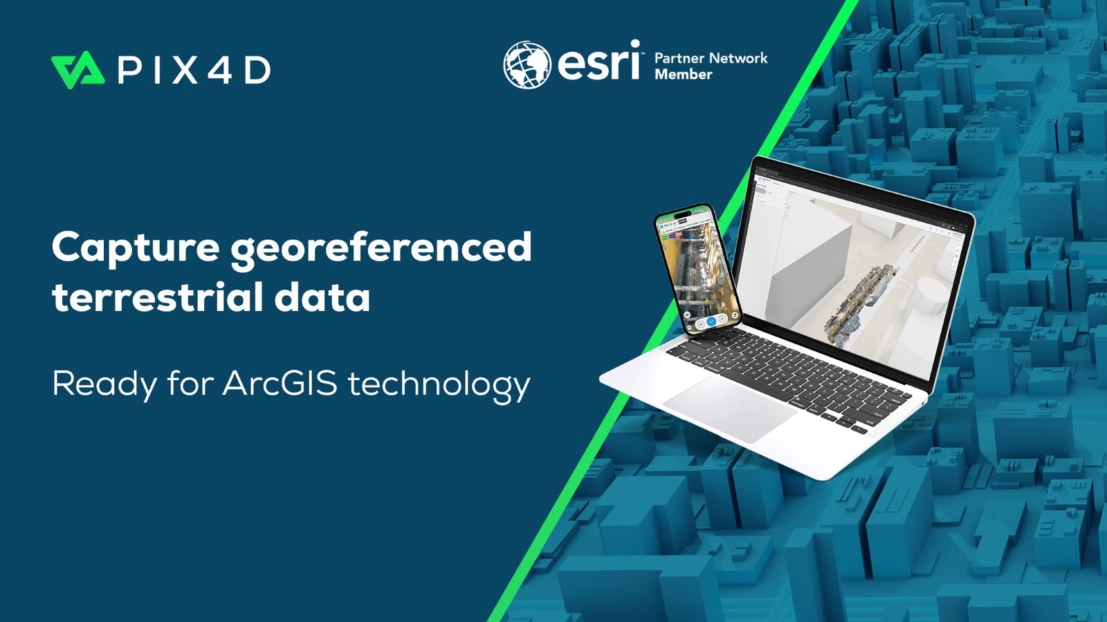
Esri and Pix4D Launch Real-Time Terrestrial Mapping Workflow
Alliance Brings Seamless Integration of Asset Data into ArcGIS for PIX4Dcatch Users Pix4D joins with Esri to launch new terrestrial scanning workflow for infrastructure-focused organization...
Esri and Pix4D Launch Real-Time Terrestrial Mapping Workflow
Alliance Brings Seamless Integration of Asset Data into ArcGIS for PIX4Dcatch Users Pix4D joins with Esri to launch new terrestrial scanning workflow for infrastructure-focused organization...
Esri’s Custom Chart Builder Adopted by the Shom (French Hydrographic and Oceanographic Office) for Nautical Chart Production
Geospatial Solution for Safety-Critical Maritime Use Sets Global Benchmark for Chart AutomationREDLANDS, Calif. — Esri, the global leader in location intelligence, announced today that the Shom (Frenc...
Esri Releases New Book on Workflows for the Human Security and Geospatial Intelligence Field
Security First Is a Guide for Users of All Levels on Applying GIS Tools and Data to Safety and Sustainability ChallengesREDLANDS, California — Esri, the global leader in location intelligence, has pub...
Previous
1
2
(current)
3
4
5
...
15
Next